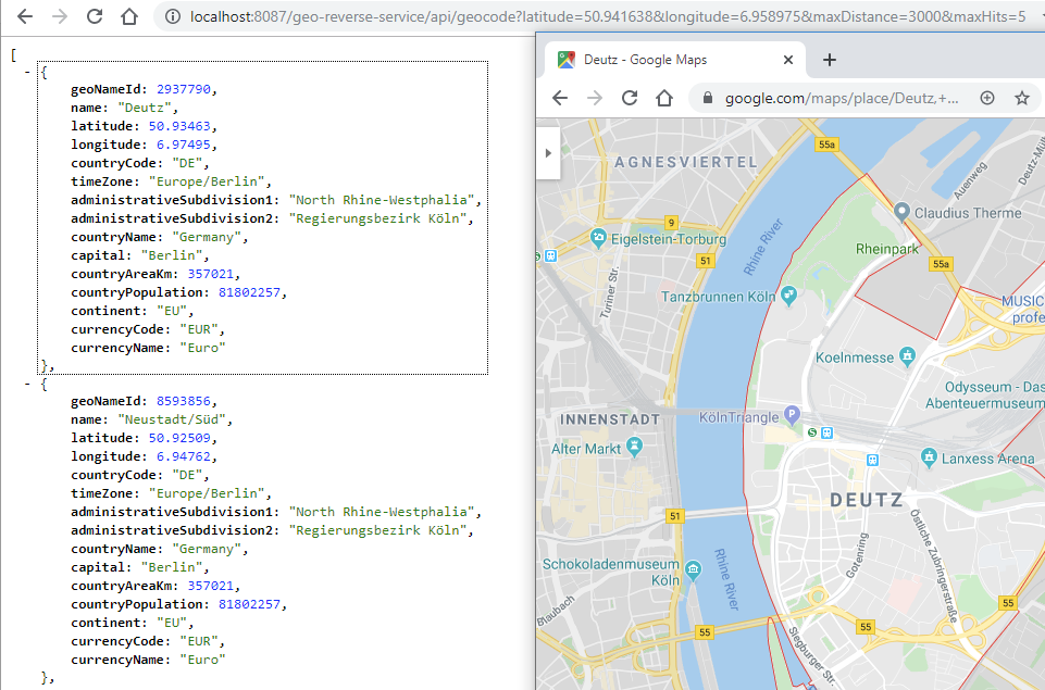
- Based on latest geonames.org data
- Very fast reverse geo coding
- Highly compressed index file
- Possibility to regenerate custom index with excluding countries (wip)
- Easy to use API
This implementation is used within the project Bluecate for mapping bluetooth low energy device geo position data to readable tracking information.
- latitude
- longitude
- maxDistance (cell radius in search for neighbour places - default 1500m)
- maxHits (default 50)
git clone https://github.com/jbellic/geo-reverse-service.git
