-
Notifications
You must be signed in to change notification settings - Fork 10
IR colour enhancement
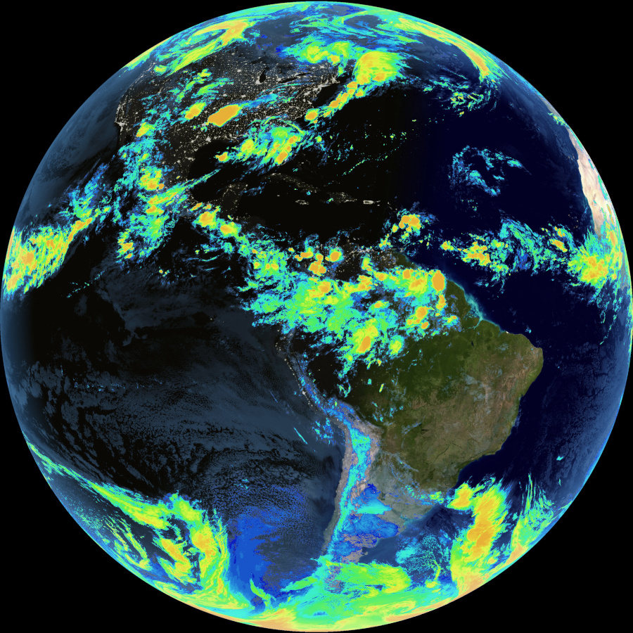
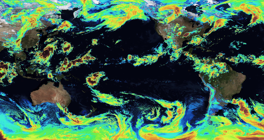
Sanchez can use a colour lookup table (CLUT) to provide a false palette for all or part of the IR image, based on pixel intensity.
This IR enhancement feature can be applied to all modes via -c / --clut <intensity>.


IR images sent from geostationary satellites map pixel intensity to temperature. To simplify development, Sanchez uses a 0.0 - 1.0 intensity scale; 0 being the hottest temperature in the image, and 1.0 being the coldest.
By default, a red to blue hue gradient is used. An alternative gradient may be specified via -g / --gradient, specifying the gradient file path.
See IR gradients for details on how to create a gradient file.
Full image replaced with CLUT using default red/blue gradient:
sanchez -o output\geostationary -s sample-images -c 0-1
Full image replaced with CLUT using custom gradient:
sanchez -o output\geostationary -s sample-images -c 0-1 -g Resources\Gradients\Purple-Yellow.json
Partial temperature range replaced with CLUT:
sanchez -o output\geostationary -s sample-images -c 0.7-1
Partial temperature range replaced with CLUT and no underlay:
sanchez -o output\geostationary -s sample-images -Uc 0.7-1
Due to the inaccuracies inherent in not mapping pixel intensity to temperature, this feature should not be used for scientific purposes. If you are wishing to accurately apply a CLUT to images created by GK-2A, see GEO-KOMPSAT-2A IR Colour Enhancement.